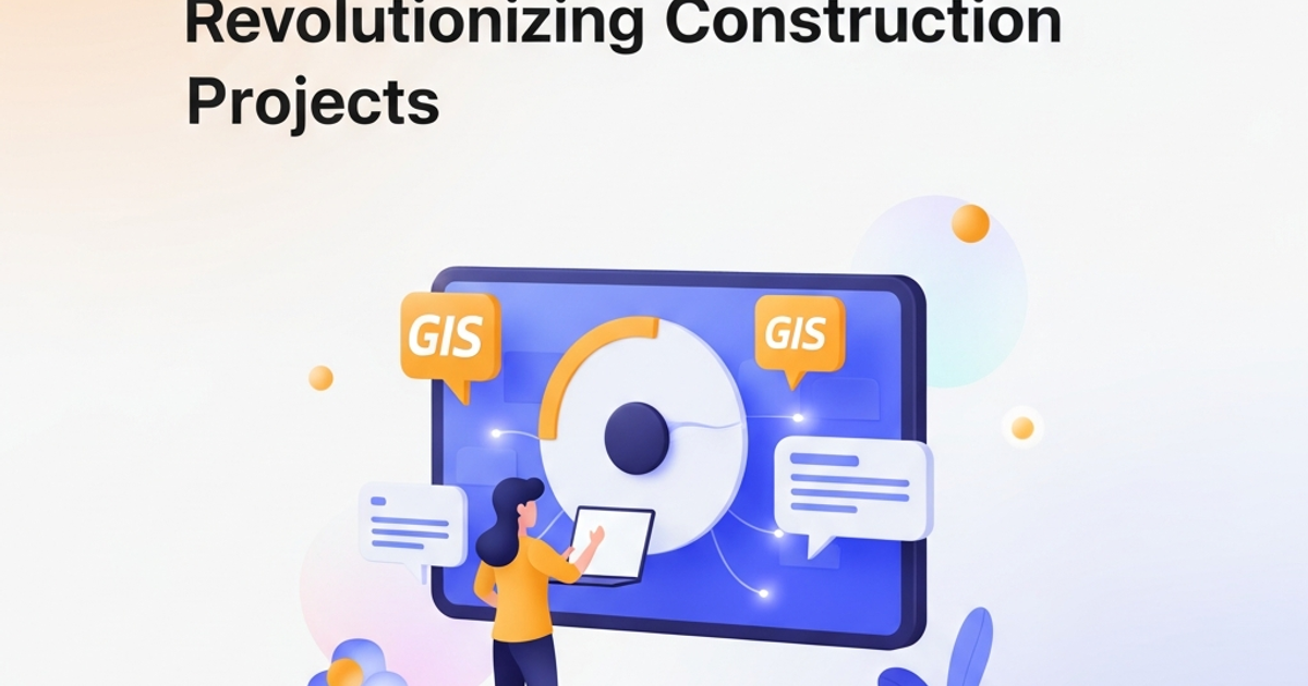
GIS Meets BIM: Revolutionizing Construction Projects
As anyone who's spent time on a construction site knows, managing spatial data is a huge part of the job. From laying out foundations to tracking progress across sprawling developments, understanding where everything is – and how it relates to its surroundings – is critical. For years, we've relied on different tools for different jobs. Architects and engineers use BIM (Building Information Modeling) to create detailed 3D models of buildings. Meanwhile, urban planners, surveyors, and infrastructure managers often turn to GIS (Geographic Information System) for broader geographical context and analysis.
But what happens when these powerful worlds collide? The answer is a game-changer: GIS integration in construction. It's not just about having two separate systems; it's about making them talk to each other, unlocking a level of insight and efficiency we've only dreamed of.
Think about it. A BIM model is incredibly detailed, showing you exactly how a building is designed and will be constructed. A GIS, on the other hand, provides the bigger picture – the surrounding environment, utilities, topography, zoning, and even social infrastructure. When you overlay these, suddenly your building isn't just a standalone structure; it's part of a living, breathing urban fabric.
I remember a project a few years back where we were designing a new community center. We had the BIM model down pat, every pipe and wire meticulously planned. But when we started looking at the site in a GIS context, we discovered an old, undocumented utility line running right where we planned the main entrance. Without that GIS overlay, it would have been a costly, last-minute surprise during excavation. This kind of GIS integration in construction proactively identifies and mitigates risks before they become problems.
You Might Also Like
- Virtual Construction: The Future of Building, Today!in Digital Construction
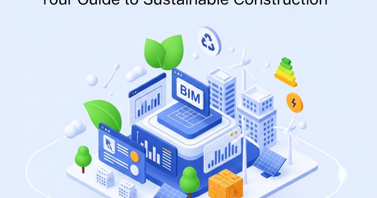
- Building Greener with BIM: Your Guide to Sustainable Constructionin Digital Construction
- Cloud BIM Collaboration: The Future of AEC Project Successin Digital Construction
Bridging the Digital Divide: Why Integration Matters
The benefits of merging BIM and GIS are far-reaching, impacting every stage of the project lifecycle:
- Enhanced Design & Planning: Imagine designing a new skyscraper. With GIS integration, you can instantly see how the building will impact sunlight and shadow patterns on neighboring properties, analyze wind flow at street level, or even assess the impact on existing transportation networks. This contextual awareness allows for more informed design decisions, leading to better outcomes for both the project and the community.
- Streamlined Construction Operations: During the construction phase, GIS integration in construction becomes invaluable for site logistics. Think about optimizing the placement of temporary facilities, planning efficient material delivery routes, or managing field data collection. Supervisors can use integrated platforms to see real-time progress against the BIM model, all overlaid on the actual site conditions provided by GIS. This improves coordination and reduces rework.
- Smarter Facility Management: Once the building is complete, the value doesn't stop. Facility managers can access a unified view of both the building's internal systems (from BIM) and its external context (from GIS). This makes maintenance planning, emergency response, and future renovations significantly more efficient. Knowing exactly where an underground pipe is located within the broader utility network, for example, saves immense time and resources.
This synergy creates a more holistic understanding of a project, moving beyond isolated datasets to a connected, intelligent model of the built environment. It’s about breaking down silos between design, engineering, construction, and operations.
Real-World Impact: Success Stories and Future Potential
We're already seeing exciting examples of this integration in action. City planners are using combined BIM and GIS datasets to visualize proposed developments in their urban context, assess their impact on services like public transport and emergency response, and engage citizens more effectively. Infrastructure projects, like laying new pipelines or roads, benefit immensely from the ability to model not just the asset itself (BIM) but also the complex subsurface conditions and surrounding land use (GIS).
Consider a large-scale transportation project. The BIM model can detail the new bridge structure, while the GIS data provides information on soil types, existing underground utilities, property boundaries, and environmental sensitivities. This combined intelligence allows engineers to identify potential constructability issues early, plan for minimal disruption to the public, and ensure compliance with regulations. The ability to perform spatial analysis on this combined data can reveal optimal routes, minimize environmental impact, and forecast construction timelines with greater accuracy.
Looking ahead, the potential is even more profound. As we move towards more resilient and sustainable cities, the ability to integrate detailed building performance data (BIM) with city-wide environmental data (GIS) will be crucial. We can model how buildings perform under different climate scenarios, optimize energy consumption across entire districts, and plan for climate adaptation strategies with unprecedented precision. GIS integration in construction is laying the groundwork for smarter, more responsive urban environments.
It's also fostering a more collaborative environment. When all stakeholders can access and contribute to a single, context-aware digital twin of a project, communication improves dramatically. This unified platform reduces misunderstandings, speeds up decision-making, and ultimately leads to better project outcomes. The trend towards digital twins, which merge real-time operational data with design and construction information, is a powerful testament to the value of this integration.
Embracing GIS integration in construction isn't just about adopting new technology; it's about fundamentally changing how we plan, build, and manage our infrastructure and buildings. It’s about creating a more connected, intelligent, and sustainable built environment for everyone.
BIM Era Engineering Team
Expert insights and analysis to keep you informed and ahead of the curve.